Cultural exploration
3–4 daysEasy
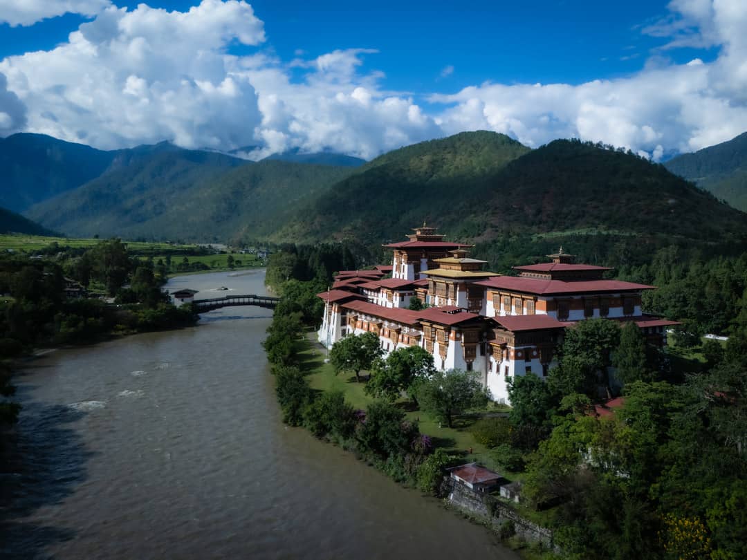
Meet the local rhythm through a dzong, a village, a monastery, and the everyday rituals that give the district its character.
Local dzong · Traditional village · Monastery experience
Gasa · Western Bhutan
Best Apr–Oct
A sense of place
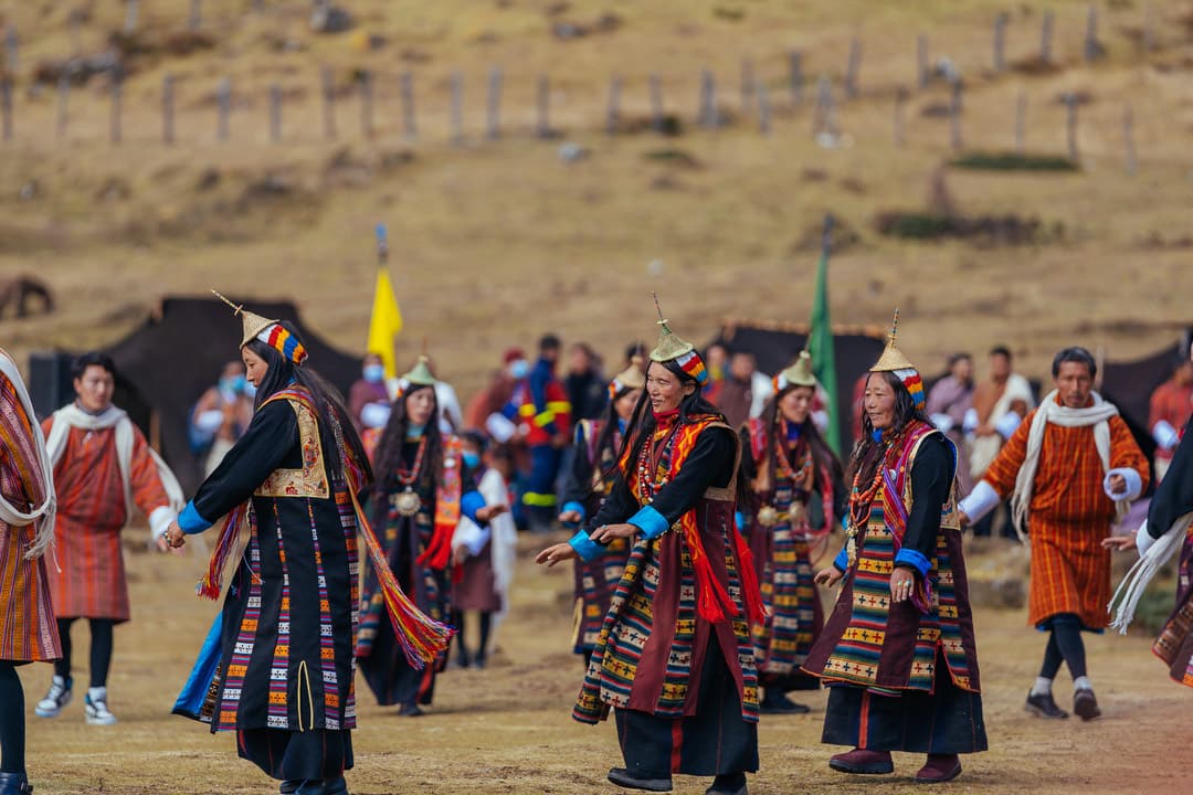
Gasa offers a distinct way into Bhutan, with its own landscape, culture, and pace of travel.
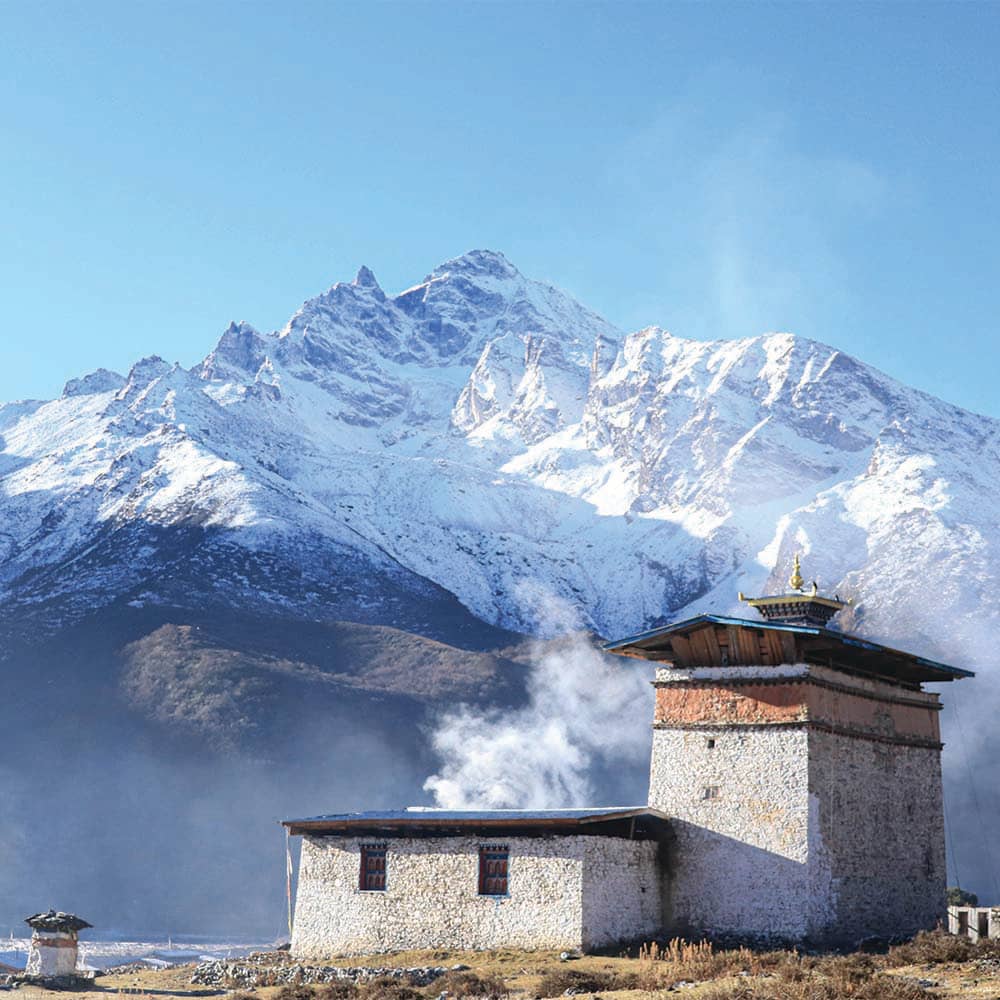
The details are what stay with you.
Why visit
The best way to understand Gasa is to give it time: follow the local routes, listen to the stories, and leave space for the unexpected.
Signature experiences
These are starting points, not fixed packages. We shape the pace and detail around your dates and interests.
Meet the local rhythm through a dzong, a village, a monastery, and the everyday rituals that give the district its character.
Local dzong · Traditional village · Monastery experience
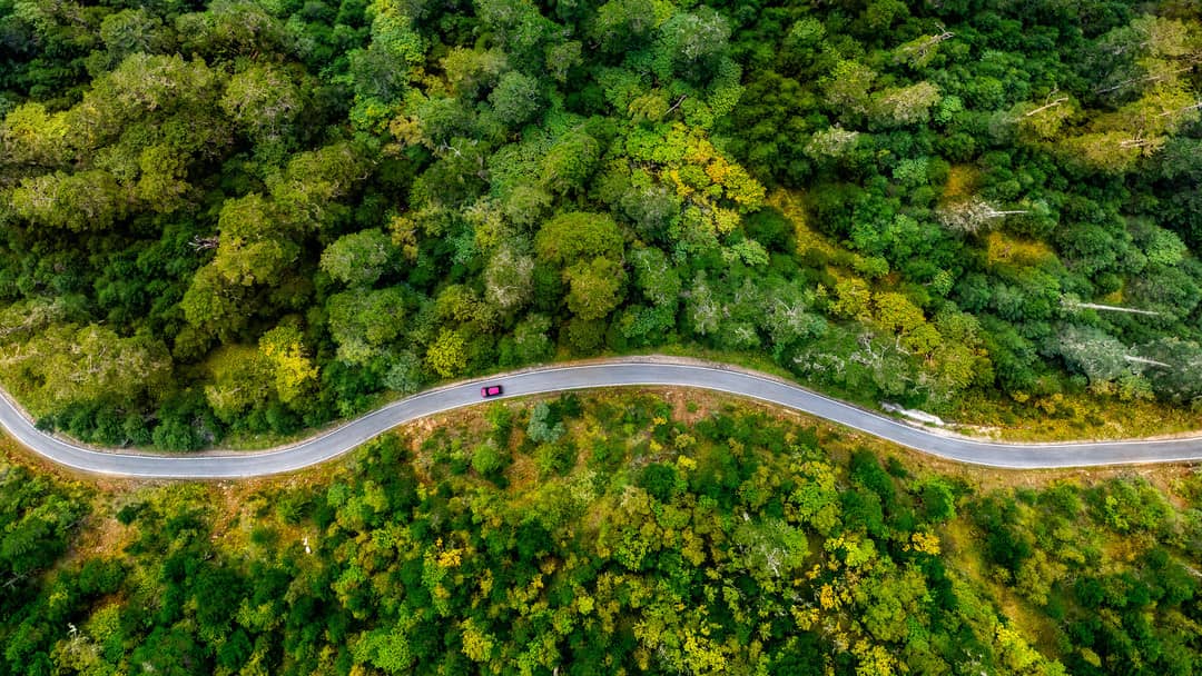
Take the slower route through forest paths, viewpoints, and mountain landscapes with time to stop along the way.
Nature trails · Wildlife watching · Mountain views
A compact introduction to historic sites, ancient temples, local markets, and the craft traditions of the region.
Historic monuments · Temple visits · Traditional crafts
Best time to go
The best time to visit is shaped by the altitude, route, and activities you want to include.
Apr–Oct
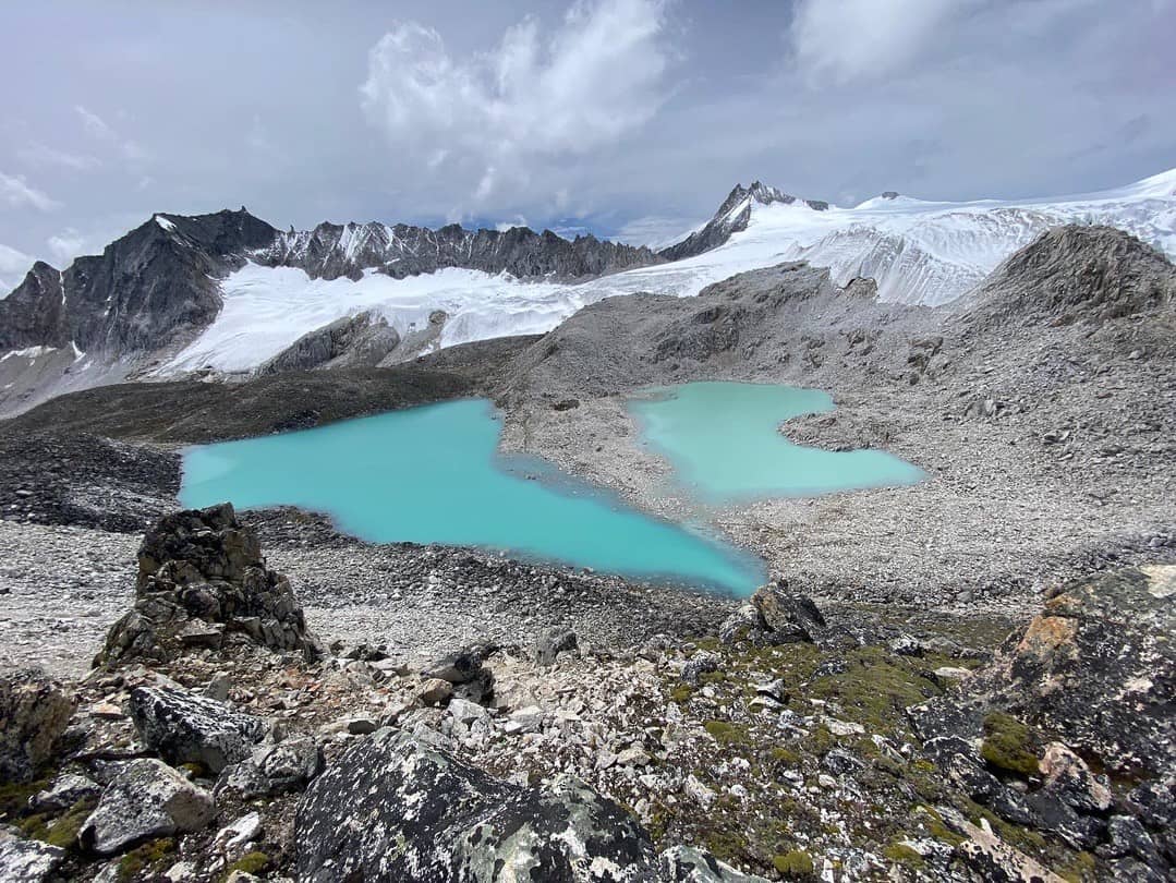
Suggested journeys
Map and location
Gasa
The most remote and sparsely populated district, home to high-altitude trails and hot springs.
Travel information
We keep the route beautiful and the details clear. Your confirmed itinerary will set out the exact inclusions, charges, and timing.
Read all travel information
Make it yours
Tell us when you want to travel, what draws you here, and how you like to move. We’ll shape the route around it.