River valley heritage
1–2 daysEasy
Experience the old winter capital through its dzong, rivers, rice fields, and the stories carried along the valley floor.
Punakha Dzong · Suspension bridge · Village walk
Punakha · Western Bhutan
Best Oct–Apr
A sense of place
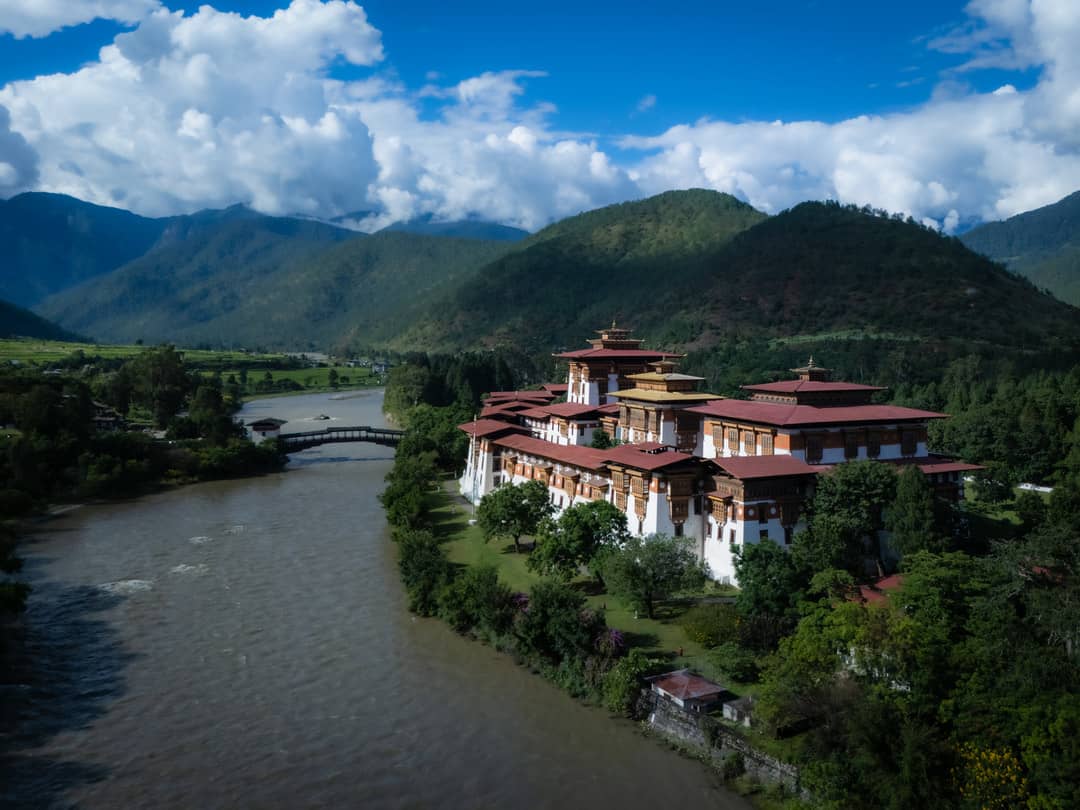
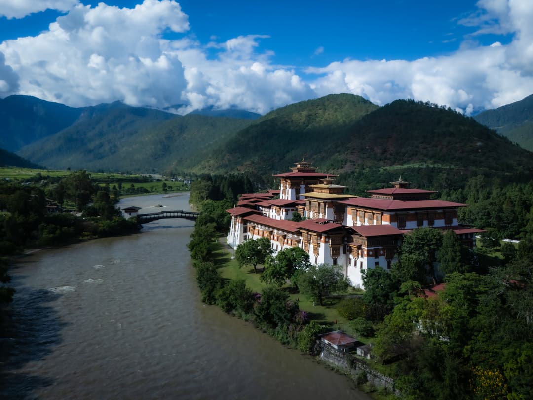
Punakha feels different from the higher western valleys: warmer, greener, and threaded by the meeting of two sacred rivers beneath one of Bhutan’s most beautiful dzongs.
The details are what stay with you.
Why visit
Come for the architecture and stay for the landscape around it — rice terraces, hillside temples, suspension bridges, and long views that make the journey feel spacious.
Signature experiences
These are starting points, not fixed packages. We shape the pace and detail around your dates and interests.
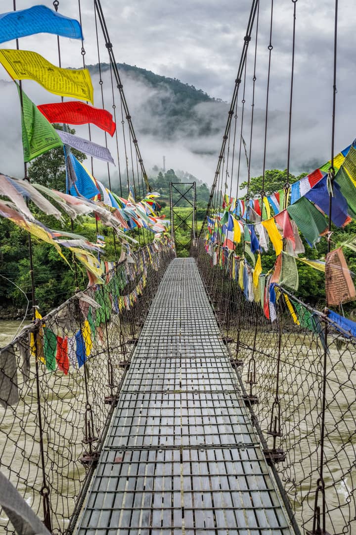
Experience the old winter capital through its dzong, rivers, rice fields, and the stories carried along the valley floor.
Punakha Dzong · Suspension bridge · Village walk
Add a little movement to the landscape with a river adventure or a walk toward a hillside temple and its views.
River adventure · Chimi Lhakhang · Khamsum Chorten
Best time to go
October through April is a popular window for clear valley days, while spring brings blossoms and a softer green landscape.
Oct–Apr
Suggested journeys
Map and location
Punakha
The ancient capital, renowned for its stunning dzong at the confluence of two rivers and subtropical climate.
Travel information
We keep the route beautiful and the details clear. Your confirmed itinerary will set out the exact inclusions, charges, and timing.
Read all travel information
Make it yours
Tell us when you want to travel, what draws you here, and how you like to move. We’ll shape the route around it.